We turn drones, satellites and field-grade AI into forest data communities, government and donors can trust — measured from the ground up, not estimated.
Nepal handed nearly a third of its forests to community user groups, one of the world's great conservation stories. Yet the data behind those forests still lives in paper plans and one-off surveys — too coarse to verify carbon, target restoration, or unlock climate finance.
Most forest figures in Nepal are modelled or sampled coarsely — hard to audit, harder to trade against.
UAV + AI individual-tree inventory, validated against field plots, delivered as maps and APIs.
Calculators, converters and reference data — built around the methods Nepali foresters already use. The free top of our funnel.
Forest planning, surveys, modelling and satellite mapping — delivered as ready-to-use reports and maps. Today's revenue, funding tomorrow's platform.
Inventory analysis, regeneration, maps and the full operational plan.
Resource surveys and sustainable-harvest reporting for non-timber products.
Habitat suitability maps from predictors and occurrence data.
LULC, change detection, LiDAR/multispectral analysis, NDVI & biomass.
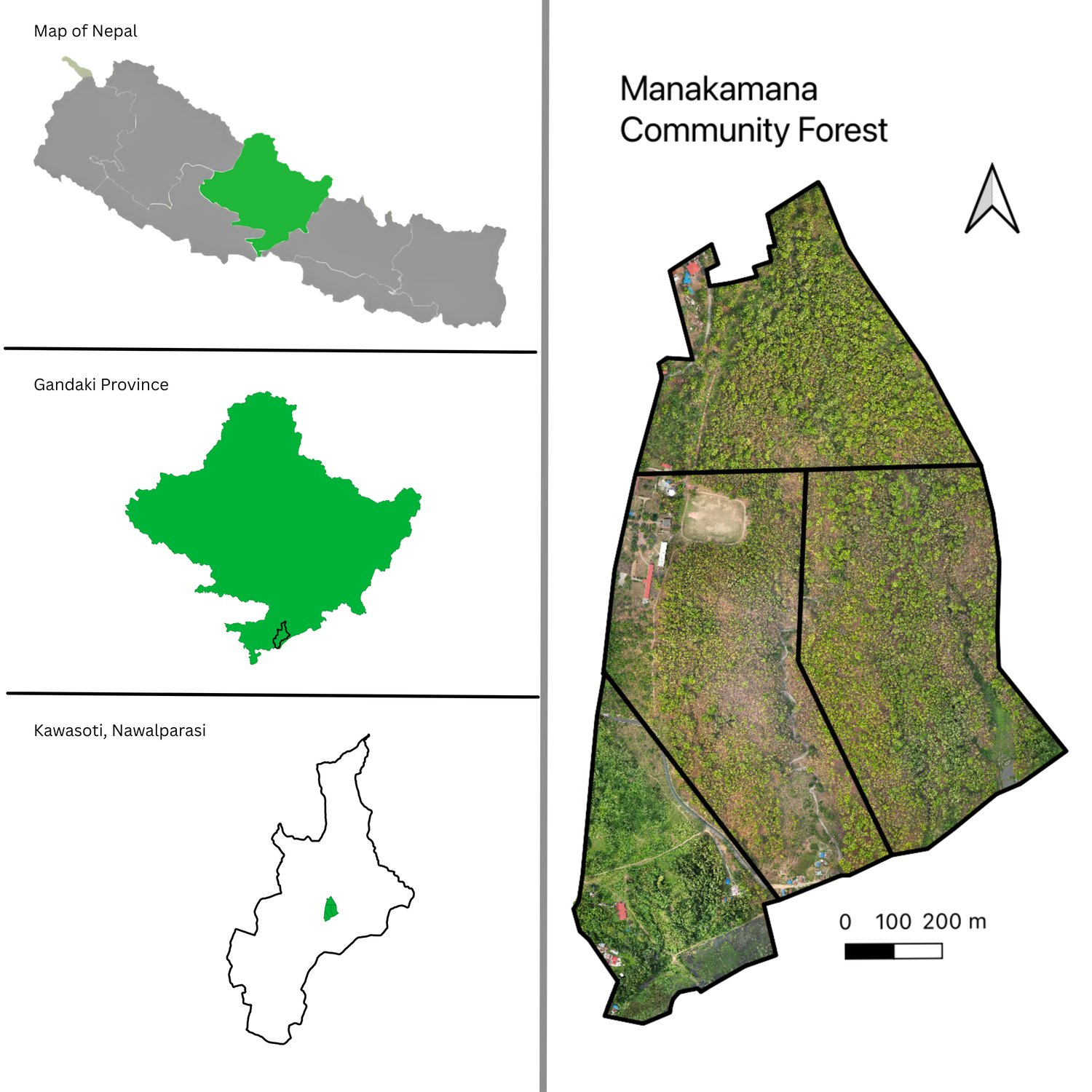
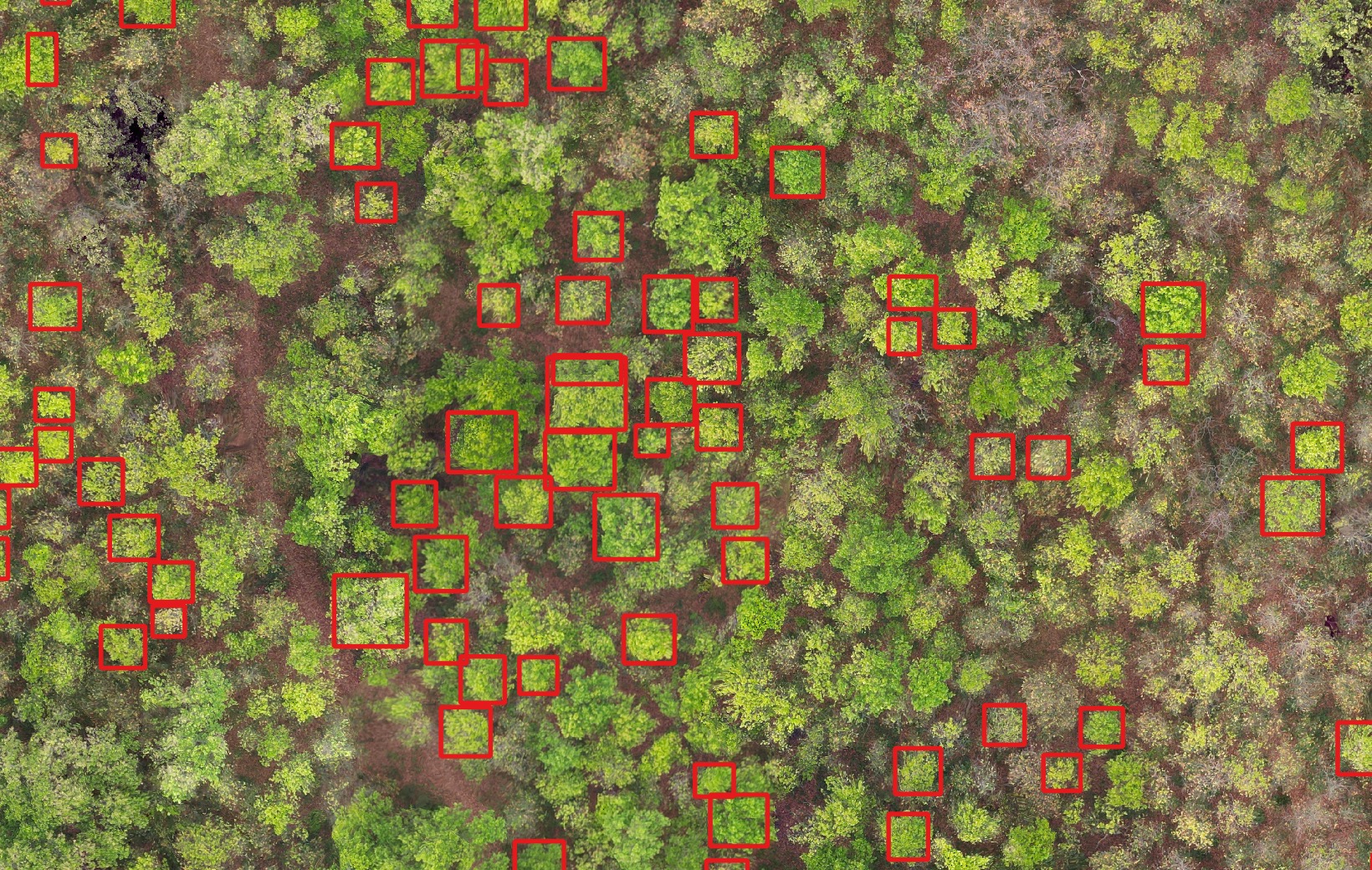
A UAV orthomosaic of a community forest in Kawasoti, processed with a DeepForest model into an individual-tree inventory — every crown delineated, measured and mapped.
A growing software layer on top of the services business — where the defensible, recurring value compounds.
We measure the carbon stored in Nepal's forests — backed by field inventory, not estimates — so communities and institutions can verify and trade it. That's the market we're building toward.